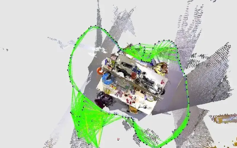
SLAM, which stands for Simultaneous Localization and Mapping, is a critical technology used in robotics, augmented reality, and other fields that require precise positioning and mapping in real time. The goal of SLAM is to enable a robot or other device to navigate an environment and construct a map of that environment simultaneously using only sensor data. With SLAM, machines can navigate and interact with the environment more accurately and effectively, making it a crucial component of many modern technologies.

Hector SLAM: This LiDAR-based SLAM algorithm matches new incoming scans to the map using Gauss-Newton least squares for scan matching. It performs well in geometrically rich environments but struggles in straight or featureless areas.
Gmapping SLAM: Utilizing a Rao-Blackwellized particle filter, this algorithm creates 2D occupancy grid maps. It works well in distinctive environments but produces overlapping maps in straight paths due to poor scan registration.
Cartographer SLAM: This algorithm integrates LiDAR and IMU data to produce accurate 2D/3D maps. While it performs better in straight-line navigation, it struggles with rotational movements, leading to inaccuracies during turns.
RTAB-Map: This graph-based SLAM leverages RGB-D cameras and creates point cloud maps with loop closures, achieving robust and accurate mapping. However, slight deviations may occur in repetitive or feature-sparse areas.
ORB-SLAM 3: A modern visual SLAM system that provides precise trajectories by leveraging loop closure detection and semantic segmentation. It handles turns less effectively but achieves high accuracy overall.
| SLAM Algorithm | Sensor | Map Type | Performance | Odometry Needed |
|---|---|---|---|---|
| Hector SLAM | 2D Lidar | Grid | Bad | No |
| Gmapping SLAM | 2D Lidar | Grid | Bad | Yes |
| Cartographer SLAM | 2D Lidar/IMU | Grid | Bad | Yes |
| RTAB-Map | RGB-D Camera | Grid/Point Cloud | Good | No |
| ORB-SLAM 3 | Stereo Camera | Trajectory | Good | No |